Precision Ag & Global Information Systems
Digital Ag Technologies Australia | DATA Ag
Offering the hardware and tools developed by engineers and physicists, using data analysis and control systems designed by software developers and delivering agronomic outcomes straight to farmers, DATA Ag is an industry leader unlike any other.
Finding answers among customised, on-farm data utilising state of the art technology, DATA Ag’s Global Information Systems (GIS) allows farmers to upscale, streamline and fortify their operations with practical application of quantified, real-world evidence.
How does DATA Ag use Precision Ag & GIS?
Utilising the tools of digital agriculture to understand field variability, DATA Ag’s use of GIS is a key educator in influencing yields, crop and pasture production. DATA Ag’s studies and analysis are based on over 30 years of scientific research and understanding of soils and crop agronomy, from the original principles of field data collection. DATA Ag’s Precision Ag sector incorporates a focus of on-farm data management, yield data processing, variable rate prescriptions and relevelling assessments.
The process of Precision Ag & GIS
01
Soil Surveying
To conduct soil surveying, DATA Ag uses electromagnetic induction (EM) and gamma radiometric (GAMMA) surveys on-farm. Alongside this, DATA Ag can also complete on-farm field surveying utilising RTK GPS.
02
Soil Testing
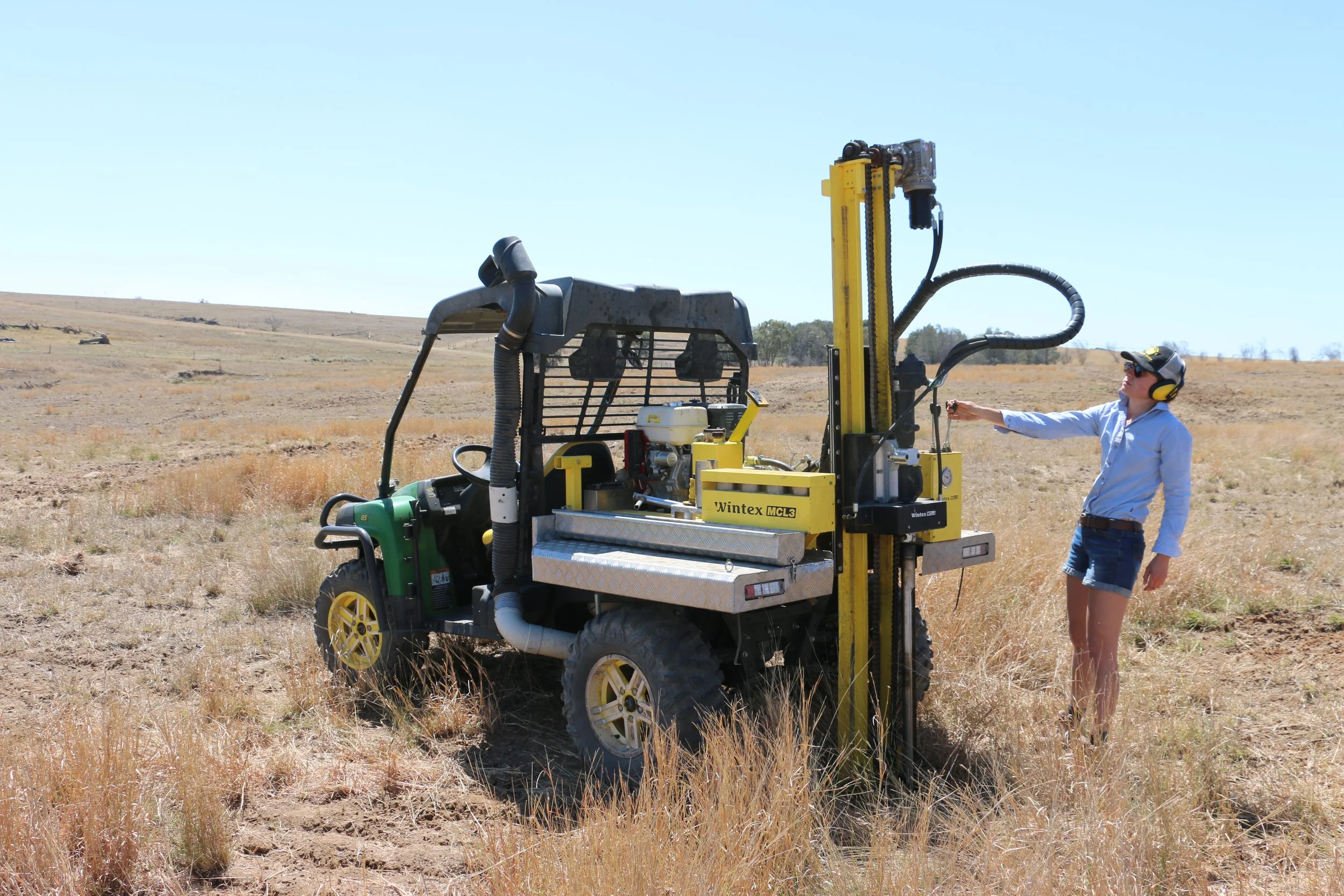
DATA Ag’s qualified agronomists can provide a full chemical analysis on-farm, as well as provide a full spatial soil analysis based on proximal and remotely sourced sensor information.
03
Analytics
By utilising multiple sources of information to allow for the understanding of site-specific variability, DATA Ag can combine strategically collected soil information and analyse multiple datasets to create high level spatial soil maps of soils chemical and physical properties. Using this information, DATA Ag then relates soil variability to crop and pasture production to allow for detailed understanding of the real drivers of yield.
04
Desktop Studies
Many of DATA Ag’s studies are conducted at desktop level, before any field work is conducted. Utilising all available spatial datasets, DATA Ag has the in-house capability to conduct remote analysis of proposed greenfield developments before setting foot on-farm.


